Diving Deeper In Hydrographic Survey Details
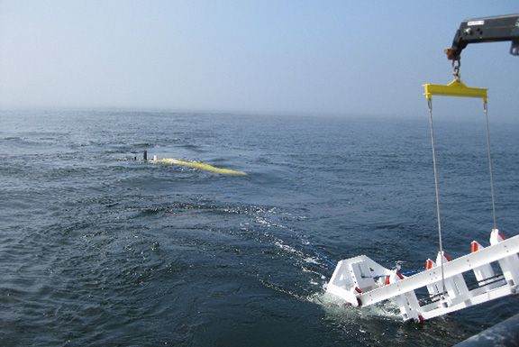
A hydrographic survey also called a bathymetric survey, enables correct decision designing for the proper project inception. This survey ensures artisanal shelters and fishing ports building at the right location in easy and free of significant maintenance issues under all conditions. There are different types of hydrographic surveys and equipment that work in correlation with the details required during the designing stage. The underwater tracking systems for hydrographic surveys produce a contour map about the sea bed depth arranged to show the line of equal depth from the coastlines. But this graphing has a problem of not knowing how far the survey boat is positioned from the shoreline at the time of depth recording. For the underwater survey, both vertical depth and horizontal positioning measurements are done manually, which is low technology and low-cost methodology, or using sophisticated depth and position fixing equipment with high technology and high cost. Purpose Of Hydrogr...